Walk, Cotherstone, Approximately 3.0 mile or 4.8 kilometres
Dot and I had already done part of this walk before but today's was much longer. We had our picnic and waterproofs, so off we went.
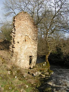
We set off out of the side gate and down the steep dirt path from the site in the direction of the village, not a good path but safer than the road. We walked alongside the river Balder, passed the remains the old watermill and then, crossed over the field to the road.
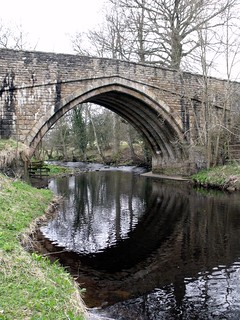
Across the field at the road, we crossed the river and then over to the left of the the road to the public right of way.
We then turned left along the public right of way just over the bridge and headed towards the river Tees, this path is fairly slippery but not too bad, until it veers away from the river, around a house.
This part of the path was nearly impassable with beep mud the first time we did this walk but we managed to get through (this has now been resurfaced but beware), the rest of the way down to the confluence with the river Tees, is along a narrow road set back from the river Balder.
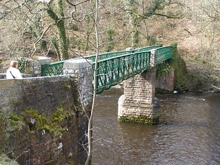
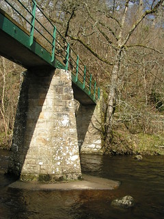
At the confluence where there are footbridges over both rivers, we crossed over the Balder via a footbridge, then the other footbridge over the Tees.
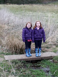
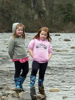
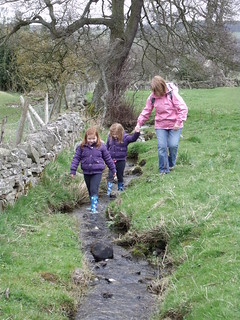
We then headed east along the river banks, where the girls played in the river for a while. They had hoped to play on the rope swing that they had played on last time they were there, but the rope had gone.
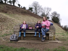
Then we crossed back over the two bridges, for our picnic lunch, on a nice seat overlooking the confluence ot two rivers. The girls also played in the river again under the bridge over the Balder
After lunch we set off up the hill behind the seat (you can see it in the photo above), Dot and I had walked this way before. It is steep but not too long and you get a very good view along the Tees from the top.
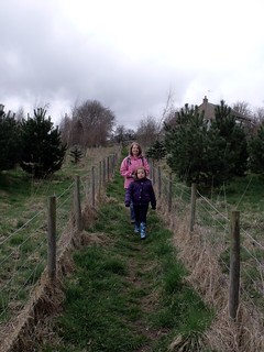
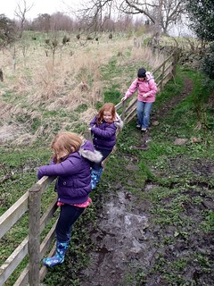
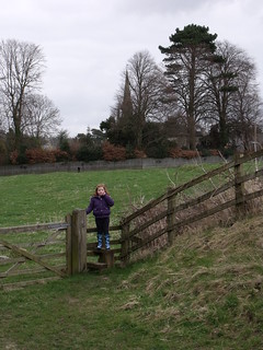
At the top we came to a road and some houses but instead of walking back into town along the road we followed the public footpath across the field. All was well until we came to a dip that was full of mud, we had to climb along the fence to get passed.
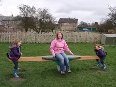
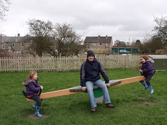
The path comes out on t he main road, where we turned left and headed for the green. From there we walked along the Bowes road towards the village hall (I was heading for the old railway line). Anyway we came to a path on the left that led to a playground, there was no getting out of spending an hour there. Good job I was carrying a book with me.
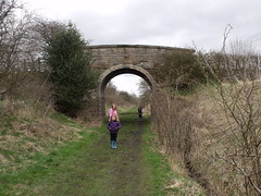
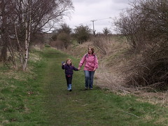
We came back out from the park the way we went in and took the path opposite which led to the Tees Railway Path, which in turn leads back passed the campsite.
There is an easier way to the walk by just continuing along the Bowes road until is crosses the path of the old railway though.
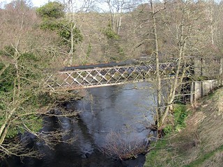
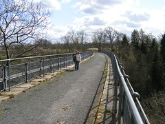
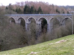
The path is level and easy to walk and stayed on the railway path until just after the fantastic viaduct over the river Balder.
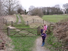
Just over the river another public footpath crossed Tees Valley Railway Path and a turn to the right took us back to the campsite, the way we had walked on the previous day.
No comments:
Post a Comment