Walk, River Nene (Ferry Meadows), Cambridgeshire, Approximately 2.7 mile or 4.4 kilometres.
Dot and I made a Picnic and sett off for a walk around the lakes in the Ferry Meadows Country Park. The weather was slightly warmer than the previous day and the sun was shining.
We turned right out of the campsite (left if you are on the main site) and walked into Ferry Meadows Country Park. At the visitor centre we turned right and followed the path round the lake. When we came to a fork in the path just before a bridge, we took the path to the left over the bridge (we would take the right hand path at a later date). There is a board with map of all the walks here, so I took a photo of it for future reference.
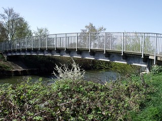
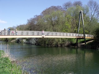
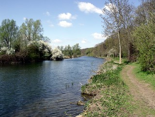
Over the bridge you can either turn right and walk around the lake, or turn right towards the river, we had done the lake before, so we turn right for the river (from the map we knew there was a walk by the river). We crossed over the river Nene via Bluebell Bridge and tuned left to follow the river.
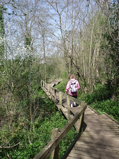
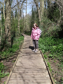
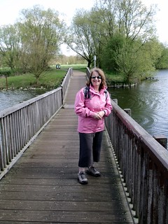
Parts of the walk is along a boardwalk.
We had a very pleasant walk along the river bank, you would think you are in the middle of nowhere but if you take one of the sets of steps up the hill from the river, you are in the middle of sports complex. We did that just to see what was there.
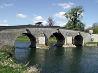
We eventually came to Milton Ferry Bridge, an old toll bridge over the river Nene, we crossed back over the river and thought it would be a very good place for our picnic. The only trouble was there was nowhere to sit and the grass was damp so we had to move on.
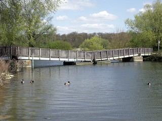
We went stright on off the bridge away from the river, this path led to the Gunwade Lake and we could see Lakeside Cafe and the Watersports Centre on the other side. We turned left and followed the path around the lake, to the first right turn, onto the path leading to the Pontoon Bridge.
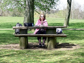
Here we eventually found somewhere to sit, picnic tables. I was very hungry by now and it was a little bit windy where we sat but it was the only place to sit.
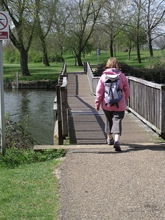
From the we walked back over the Pontoon Bridge turned right and followed the lake side path back over the first bridge we crossed. We then headed back along lake side path to the campsite, to meet Amber from school.
No comments:
Post a Comment